
|
Buchanan County Wapsipinicon River Water Trail
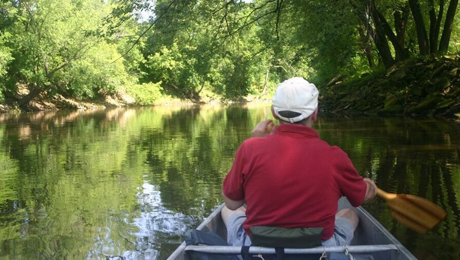
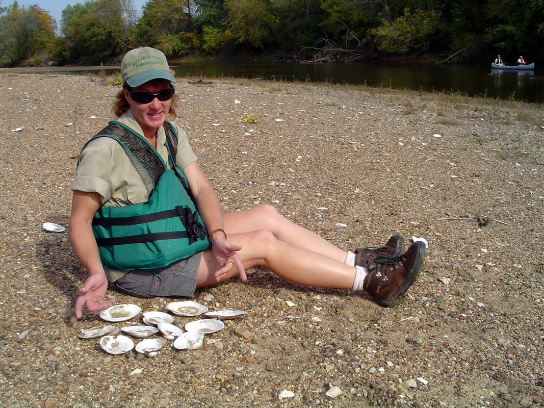
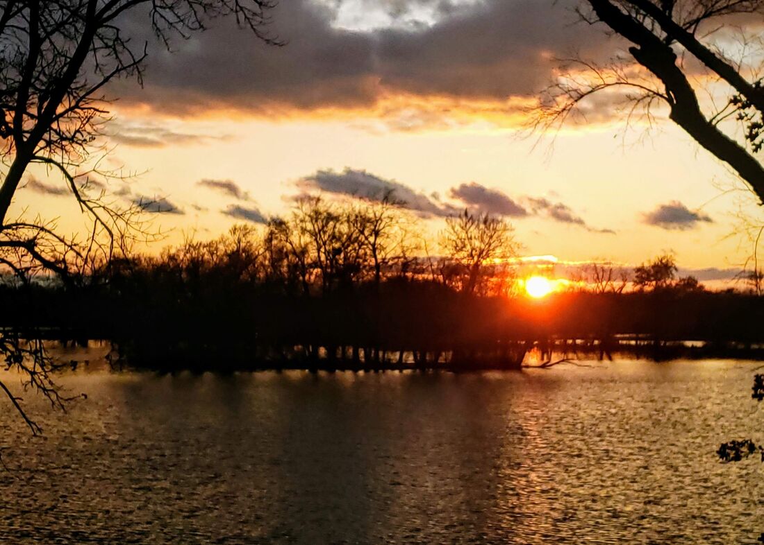
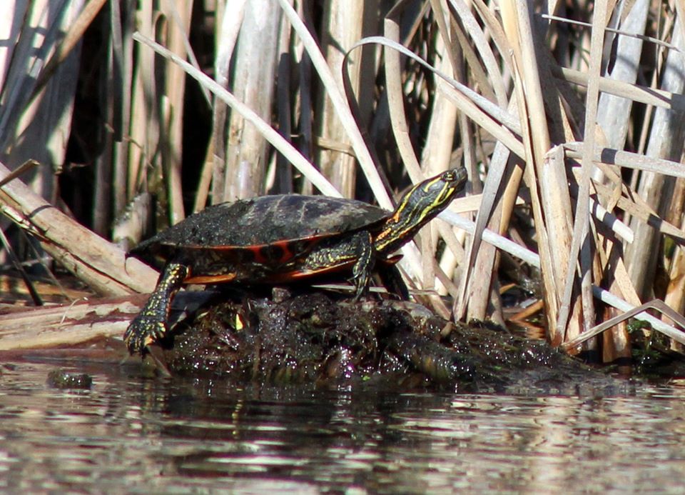
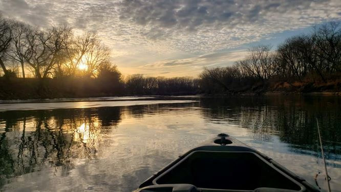
General information: 319-636-2617 buchanancountyparks.com The Wapsipinicon River Corridor is among the most important natural features in Iowa. The river, with its largely intact backwater wetlands and forested bluffs, provides great habitat for fish and wildlife, and great opportunities for people to enjoy the outdoors. River accesses are available along the entire stretch, providing opportunities for great fishing (walleye, northern pike, smallmouth bass, catfish, panfish), pleasure boating, and paddling or tubing downriver. Recognizing its great value to river recreation, the Wapsipinicon River through Buchanan County is designated a State Water Trail with signed accesses and informational brochures and kiosks. Visit the website linked below to view water trail brochures and learn about accessing the river. Wapsipinicon River Water Trail Brochure Below is a list of some of the more popular points of access. |
|
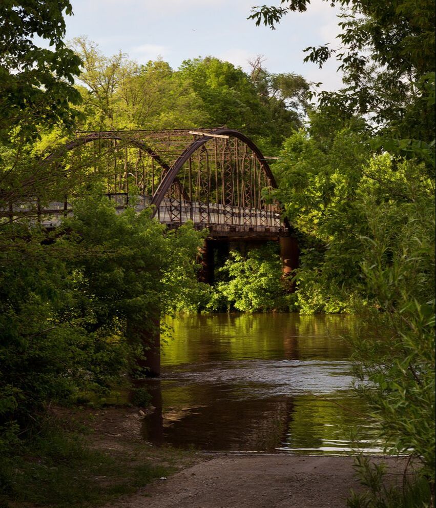
Iron Bridge Woodland & River Access - 2707-2 Nolen Ave., Rowley
Iron Bridge Access offers boat ramp access to a beautiful stretch of the Wapsi River Trail, along with access to a piece of Buchanan County history. The Iron Bridge, listed on the National Register of HIstoric Places, was originally part of a bridge through Independence and is one of only a few like it remaining in the state. Visitors currently are not permitted to walk on the bridge due to structural damage, but efforts are underway to secure funding to make the bridge into an educational recreational public amenity. In 2020, the Iron Bridge Access was upgraded to become a true Gateway Access to the Buchanan County Water Trail. The new paved approach includes a universal launch designed for use by paddlers and boaters with various skills and physical abilities. It includes lighting. a restroom, and sidewalks that allow people to walk to parking lots for the Guy Grover Timber and Tree Plantings wildlife area. More Information |
|
Robert "Chic" McGlaughlin Easement Access - 302 Water St., Jesup
Locally known as Littleton Dam Access, the Robert "Chic" McGlaughlin Easement Access is located at the old dam site at the small community of Littleton. In 2019, the dam was renovated into a series of rock rapids in an effort to make the area safer and allow for fish and other aquatic life to naturally move up and downstream. The area is privately owned (please respect private property), but iowa DNR has easement allowing public river access for fishing and paddling. The access is located downstream of the rock rapids, and there is a portage trail extending from above the rapids to the put-in. The put-in at Littleton makes for a nice half-day trip to the Iowa DNR's Otterville Bridge Access. More Information |
|
Troy Mills Access - 3251-3 Stewart Ave., Troy Mills
Troy Mills Access is the last takeout on the Buchanan County Wapsipinicon River Water Trail. Dam warning signs indicate that there is no take-out prior to the Troy Mills Dam. The access features a concrete launch and space for parking. Primitive camping is permitted, and plans are underway to provide a restroom. The surrounding public land contains 63 acres of forest along the Wapsipinicon River open to hunting, fishing, and other forms of low-impact nature appreciation. |
|
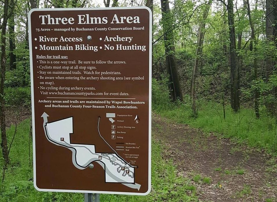
Three Elms Access - 2041 Three Elms Park Rd., Independence
Three Elms Access is the last public boat access to the Wapsipinicon River before heading downstream from Independence. The concrete put-in with ample parking provides a nice half-day trip to the Iron Bridge Access, or full-day trip to the Quasqueton Campground. This is among the most scenic and popular stretches of the Wapsipinicon River Water Trail. A restroom is available at the park entrance. |
|
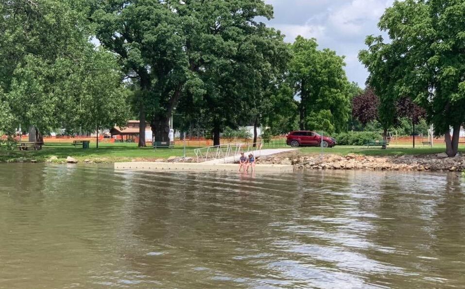
Independence Docking Points - Map
Within the city of Independence are several docking points with easy access to the river. *Wapsipinicon River Access - 2051 Wapsie Access Blvd. This access is appropriate for paddlers and some flat-bottom motor boats, as it enters the shallows wetland and reservoir of the Wapsipinicon River above the Independence Dam. The gravel access serves as a takeout for people coming downstream from the Littleton or Iron Bridge accesses, or as a great place to explore, fish, and paddle around for as long as one likes. There is a picnic shelter and restroom in the park. More Information *River Walk Parks Boat Ramp This access is located in the heart of town and is appropriate for larger boats. A playground and shelter houses are nearby along with a large parking lot. *Knotts Landing This access is most appropriate for paddlers and some flat-bottom boats entering below the Independence dam for those who want to explore the southern end of the river in Buchanan County. There are several takeout points downstream. |